Maps & Images: History Year 1
Couldn't load pickup availability
Details:
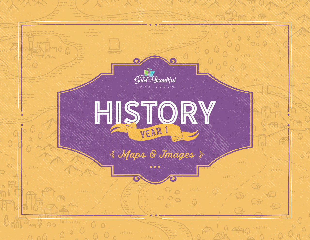
History Year 1: Maps & Images is full of illustrated and real-life images of the events, people, and places talked about in the lessons, along with maps of the locations in the world where these events happened. The richly illustrated maps, artwork, and authentic photos bring the lessons to life and provide meaningful context for students. The Maps & Images book also includes reference maps and punch-out cards used for matching games and more. A wonderful resource that is necessary to complete the History Year 1 Course, History Year 1: Maps & Images provides in one convenient and beautiful book all the maps and photos needed for an enriching year of history study.
- 146 pages, including 30 punch-out pages
- Full-color illustrations and photos
- Paperback; wire binding; 11”x8.5”
History Year 1: Maps & Images is included in the History Year 1: Course Set. This non-consumable resource is a necessary component of the History Year 1 Course.


